ROAD INTERVENTIONS
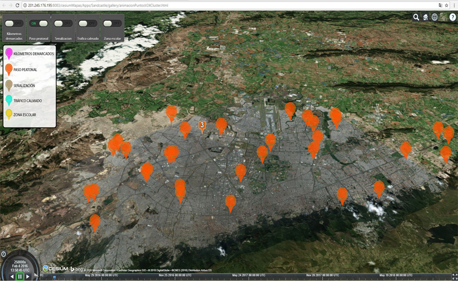
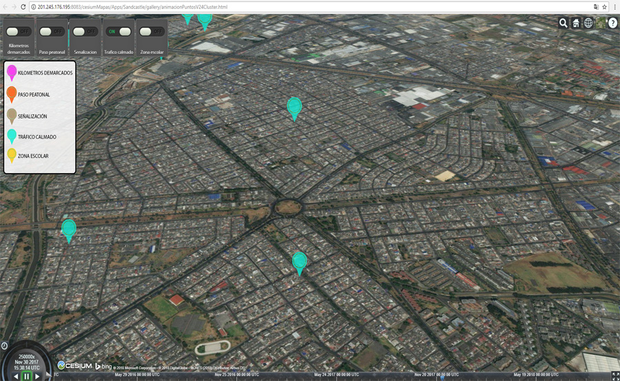
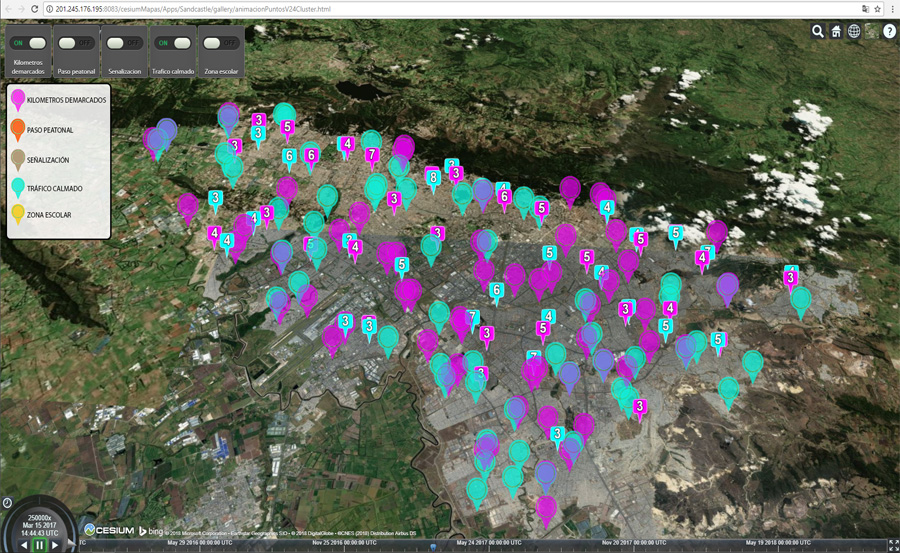
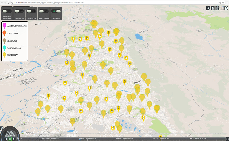
Application developed in .js and using Cesium Maps, to show the road interventions built and implemented in Bogota's city on 2016, 2017 and 2018, showing the location and the moment when the intervention was delivered.
Application developed in .js and using Cesium Maps, to show the road interventions built and implemented in Bogota's city on 2016, 2017 and 2018, showing the location and the moment when the intervention was delivered.
More Info...